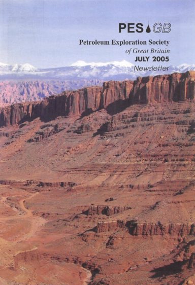
PESGB July 2005
President’s Page- Jim Munns
It always seems an anachronism to me that in so many exploration wells reservoir presence is seen as a significant risk. During the recent Spring Bank holiday weekend I spent a couple of days in Herefordshire. Apart from the superb scenery and good food the lasting impression that is blindingly obvious is the large areas covered by the Old Red Sandstone. The cliff sections at Ross-on-Wye demonstrate that continental fluvial sandstones can be laterally extensive and have apparent good reservoir connectivity and poroperm characteristics. It is really quite surprising that the “Old Red” is not featured as a reservoir target more often. Touring the British countryside the proliferation of sandstone as a building stone demonstrates its abundance. Why is it so often absent in that little 8 1/2 inch hole!
This led me to reflect on the importance of fieldwork and field trips that are both often neglected in these “high tech” days when most oil company geoscientists working the UKCS spend most of their time in front of workstations. In recent weeks I also joined the UKOOA Exploration Managers field trip to Germany organised and very ably led by RWE-Dea UK. Again we focussed on the Palaeozoic and the pre-rift. We were able to work up section from the folded Hercynian fabric including the potential reservoirs in the Carboniferous, through a very good exposure of the Rotliegend sandstone into the Zechstein. We even made a brief incursion into the Mesozoic with the Buntsandstein. I came away from the trip with two vivid geological memories. Firstly at a quarry we observed a superbly exposed contact between the Kupferscheifer and the Rotliegend sandstone and secondly an outcrop of a Zechstein reef in a field that we could walk completely around in about 10 minutes. The reef was about 200 metres long and not as wide and would be seen on about eight traces on conventionally binned 3D seismic data. Apparently it is as big as they get in the Southern Permian basin! To complete my recent sojourn in the field I joined a small but enthusiastic group of PESGB members on the Boulby mine trip, which I can highly recommend. It was salutary to see the lateral extent and thickness of the Zechstein evaporites that are such an important top seal in the southern North Sea. So in a few weeks I have pored over all the elements of an active petroleum system. I really should spend more time in the field.
So can a geologist/interpreter sitting at a workstation in Aberdeen or London really get a feel for size of structures or sand channels, for intra-reservoir permeability barriers or reservoir
continuity? Is it realistic to map a Permian reef over 50 traces wide on seismic? Can Forties sandstone channels be 100 milliseconds thick? It is clear that looking at field analogues can give us a reality check on what we map from seismic data and as always integration is all important. Nevertheless there are examples where large seismic anomalies that seem ludicrous and therefore ridiculed have turned out to be correct. In my mind the best example is “the Troll flat spot”. I remember numerous processing geophysicists being told the flat event on the early 2D data that encompassed several blocks in Norway was a processing artefact. They tried to process it out of the data and of course could not. It turned out to be a fluid interface within the Troll field! So big can be good !
As I write this article two events are coming to critical time periods. The 23rd UK Licensing Round closes in a few days so the feverish effort to complete the work will be over when you read this and the Lions tour to New Zealand is underway. Let’s wish the team well and hope they are successful!


