
YP Sponsored Student Mapping Report: Vera basin, Almeria, Spain
Vera basin, Almeria, Spain
Elizabeth Tamayo, University of Manchester
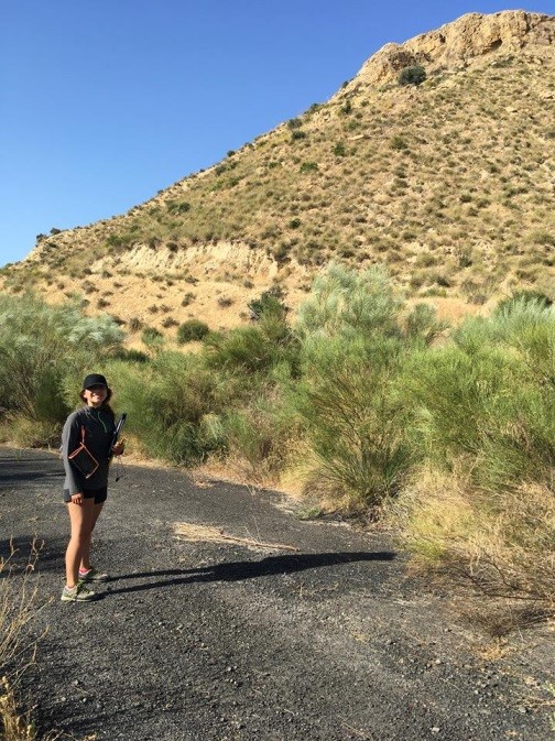
My name is Elizabeth Tamayo. I am Geology student at the University of Manchester. I did my independent mapping during June-July for six weeks. The area where I mapped is located in the province of Almeria, Spain. This area is tectonically active and records important features about the African and European configuration. The stratigraphic record of the inner and outer basins in the Betic Cordillera evidence this active tectonism. The basin studied during the mapping project is the Vera basin. The size of the basin only allowed the study of its south-east part, which is located between the Sierra Los Filabres and Sierra Cabrera. The extent of the mapped area is about 42km2. The outcrop of the Vera basin formations is the result of the exhumation that the late uplift of Sierra Cabrera caused. The 4 sedimentary formations outcropped were deposited during the Tortonian – Messinian epoch, while the 5th formation was deposited during the Quaternary as the response to the active tectonism.
The logistics of the mapping project can require a large budget, mainly in large areas where the hiring of a car is necessary. The support that PESGB offers to the geology students through “The PESGB Mapping Scholarship“ helped me to cover part of the expenses that mapping in a large area in Spain requires. Overall, my mapping experience was great as the province of Almeria is one of the best places where to map because its weather conditions allow a great exposure of the geology, while its people and places offer you wide range of possibilities to enjoy your free time. Thanks PESGB for your support!